Vasudhra Plantation Portal brings NGOs, administrators, field teams, and plantation records together in one structured digital platform.
Managed by Krishi Samadhan, the portal is designed to make plantation planning, documentation, verification, and impact visibility simpler.
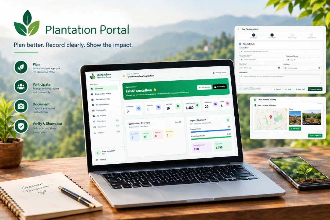
Manage your organization, submit plantation plans, record field activities, and keep track of your work from one place.
Maintain your NGO profile with organization details, office bearers, volunteer information, location, and mission.
Submit plantation plans with proposed locations, species, target numbers, timelines, and other relevant details for review.
Capture location information and supporting photographs to create structured records of activities carried out in the field.
Keep track of submitted plans, activities, verification status, plantation counts, and your organization's overall progress.
Discover participating organizations, follow their work, and engage with a growing plantation community.
Stay informed about plan reviews, activity updates, feedback, approvals, and other important actions.
Administrators can manage organizations, review plantation plans, verify field submissions, and understand activity across locations.
Review submitted plans, examine proposed details, provide feedback, and manage the approval process.
Review submitted photographs, location information, field records, and other evidence before verification.
Monitor plantation activity, verified records, participating NGOs, and geographic information through centralized dashboards.
Manage NGO accounts, supervisors, permissions, assignments, and activity history from the administrative interface.
Explore plantation records by district, block, village, and location to understand the geographic spread of activities.
Access structured activity records and generate information useful for monitoring, review, and reporting.
Plantation activities happen outdoors, across different locations and working conditions. The portal is designed to keep the process practical for teams working in the field.
Use the portal from smartphones, tablets, and desktop devices.
Record relevant GPS coordinates along with plantation activities.
Add photographs and supporting information to activity records.
Connect activity records with their field location.
Keep photographs linked with plantation activity records.
Maintain a structured digital record of submitted work.
Turn verified records into a clearer picture of plantation activity.
Different access levels help keep NGO, supervisor, and administrative workflows separated.
Interfaces are designed to work across phones, tablets, and desktop screens.
Plantation photographs can be stored and associated with relevant activity records.
Location-based information can be visualized through interactive maps.
Users can receive updates related to reviews, approvals, feedback, and activities.
Maintain a structured history of important actions and plantation records.
Join the platform and bring your organization's plantation activities into one organized digital journey.